Popular destinations nearby
Eger,
Miskolc,
Aggtelek,
Egerszalók,
Hollókő,
Jósvafő,
Sárospatak,
Tokaj,
Hollóháza,
Mátraszentimre,
Mátraverebély,
Mezőkövesd,
Parád,
Sátoraljaújhely,
Sirok
|
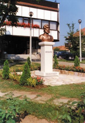
Town at the foot of the Bükk hills on the two sides of the national motorway No. 3, 20 km from Miskolc. In the northern part you can find the centre and the so-called Old village with varied features of the ground. The southern part is a typically flat territory. The settlement dates back to the period of the Conquest of Hungary. In a document related with the conquest Anonymus mentioned that Árpád chieftain was camping here for a month. The name probably comes from a proper name. The village was first mentioned in records in the 13th century. In the 15th century it was mentioned as a market-town. It was burnt down several times during the Turkish occupation. The records from the 17th century preserve the names of György, Pál and Zsigmond Rákóczi. Half of the settlement was owned by the prince, the other part belonged to the Rákóczi family. Pictures of Emőd
|
Emőd map nagyítása >>
|
|
|
Hungary - Emőd |
|
|
|
||
|
Wednesday, 8. July 2026. - 15:05:24 |
||