Popular destinations nearby
Debrecen,
Hajdúszoboszló,
Hortobágy,
Nyíregyháza,
Szolnok,
Balmazújváros,
Berettyóújfalu,
Csaroda,
Csenger,
Cserkeszőlő,
Derecske,
Fehérgyarmat,
Hajdúböszörmény,
Hajdúdorog,
Hajdúhadház
|
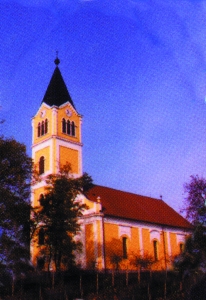
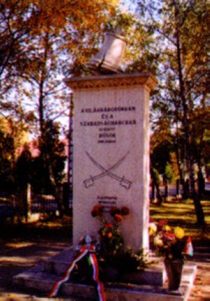
Village with 3,300 inhabitants on the southern part of Nyírség, at the road No. 471 and the railway line Debrecen-Mátészalka. The highest point of the Great Plain, the 183 m high Hoportyó, can be found in its vicinity. It was named after chieftain Bogát in Árpád's age. He secured the transport of salt from North-Transylvania towards the inner parts of the country. The surroundings of the village were inhabited already in the late neolithic age, but it was first mentioned in 1310. The late Baroque Calvinist church on the Temple hill rises above the plain, its foundation stone was laid in 1823. The Bogáthy mansion houses a hotel and a restaurant at present. The settlement has active public life. Pictures of Nyírbogát
|
Nyírbogát map nagyítása >>
|
|
|
Hungary - Nyírbogát |
|
|
|
||
|
Sunday, 28. June 2026. - 16:44:49 |
||